Community Archaeology at Tel Esur
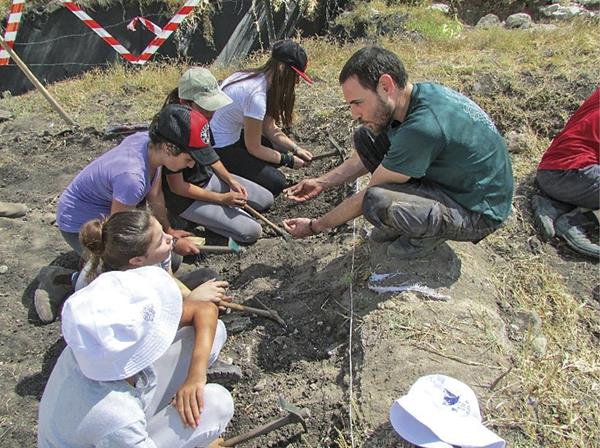
At dawn, scores of schoolchildren noisily cross the wheat fields and arrive, full of enthusiasm, at the ancient mound. “Let’s find out what was here thousands of years ago!” they shout in Hebrew. The archaeologists raise their heads from sorting and registering finds—another day of community archaeology has begun at Tel Esur.
Tel Esur is located about 20 miles south of Haifa, at the western entrance to the narrow Nahal ‘Iron valley. This pass was one of the main routes through which the ancient Via Maris, the major north-south coastal road, crossed the Carmel mountain range toward the fertile Jezreel Valley. Esur was a fortified settlement during the Middle Bronze Age. Later, it appears to have functioned as a Late Bronze Age caravan station on the route between the Egyptian garrison towns of Jaffa and Beth Shean. A nearby early eighth-century B.C.E. administrative building featuring a fortified tower and a paved, tripartite structure (likely storage rooms or stables) may evidence the expansion of the Northern Kingdom of Israel during the days of King Jeroboam II (see 2 Kings 14).
Already a library member? Log in here.
Institution user? Log in with your IP address.