The Plan of Greater Herodium
Sidebar to: Searching for Herod’s Tomb
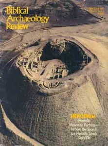
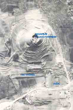
The 45-acre site of Greater Herodium is dominated by the cone-shaped mountain palace-fortress, excavated in the 1960s by Father Virgilio Corbo. At the base of the mountain, on the north slope, Ehud Netzer has uncovered additional extensive remains of Herod’s elaborate desert retreat. The pre-excavation photograph served as Netzer’s map and guide, helping him decide where to dig in Lower Herodium, below the mountain palace-fortress. Shapes and contours not apparent at ground level became, from this distant view, strong suggestions of buried architectural features. In this photograph, Netzer saw the outline of the Course (an artificial terrace), the Monumental Building at the course’s western end, and the palace area to its south.
Excavations revealed many architectural elements of Lower Herodium. These are identified on the plan. The author noted four architectural axes at Herodium that bisect important structures to create what appears to be planned symmetry. These axes are shown as dotted blue lines.
Already a library member? Log in here.
Institution user? Log in with your IP address.